Live information
Live info og aktuelle vejrprognoser i Ski amadé
Bliv informeret om den aktuelle vejrsituation og vejrudsigten for de kommende dage i Ski amadé med bare ét klik. Skulle prognosen være anderledes end ønsket, skal du bare pakke lidt ekstra tøj i kufferten, og så kan ferien begynde! Det hedder sig trods alt, at der ikke findes dårligt vejr, kun dårlig påklædning ...
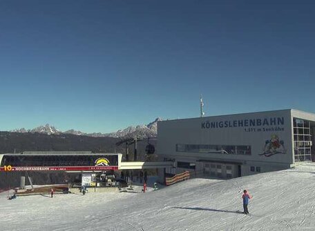
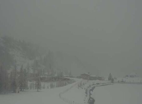
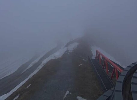
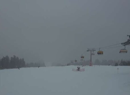
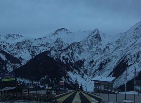
I øvrigt: Vil du vide hvordan vejrsituationen ser ud oppe på bjerget? De mange webcams i Ski amadé giver dig mulighed for at se hvor meget sne, der ligger, og om der er uvejr på vej.
Ski amadé Panorama
Best orientation with the panorama with all slopes and lifts in Ski amadé. Everything at a glance!
The 3D panorama works best with the newest versions of Google Chrome and Mozilla Firefox.
Loading
Schlossalm
It is hard to get in a spring mood at the moment with this dull weather resembling that of November! Unfortunately, today Friday there’s not going to be much changing with the humid maritime air still bringing plenty of clouds. Precipitation is however becoming ever more rare.
Angertal
It is hard to get in a spring mood at the moment with this dull weather resembling that of November! Unfortunately, today Friday there’s not going to be much changing with the humid maritime air still bringing plenty of clouds. Precipitation is however becoming ever more rare.
Stubnerkogel
It is hard to get in a spring mood at the moment with this dull weather resembling that of November! Unfortunately, today Friday there’s not going to be much changing with the humid maritime air still bringing plenty of clouds. Precipitation is however becoming ever more rare.
Graukogel
It is hard to get in a spring mood at the moment with this dull weather resembling that of November! Unfortunately, today Friday there’s not going to be much changing with the humid maritime air still bringing plenty of clouds. Precipitation is however becoming ever more rare.
Sportgastein
It is hard to get in a spring mood at the moment with this dull weather resembling that of November! Unfortunately, today Friday there’s not going to be much changing with the humid maritime air still bringing plenty of clouds. Precipitation is however becoming ever more rare.
Dorfgastein-Grossarltal
It is hard to get in a spring mood at the moment with this dull weather resembling that of November! Unfortunately, today Friday there’s not going to be much changing with the humid maritime air still bringing plenty of clouds. Precipitation is however becoming ever more rare.
